


Find YOUR path
Flint Woods Preserve
A Hard and Very Hard walking trail 10 minutes away


Main Trail
A Hard, Low Stress 1.8 mile walking trail
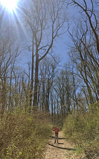
This is a wooded walking trail heading west from Rt 52 with downhill grades. It continues in a small loop to return back to the trail.
Universal Access (UA): While running grades meet UA standards for about a quarter mile, cross-grades and obstacles within the first 200 yards currently exceed UA standards.
Effort: This 1.8 mile walking trail has a Flat Equivalent Length of 2.2 miles. The entire trail merits an Overall Grade Rating of Hard instead of Easy because of 3 30' difficult uphill sections. Heading east, grades shift from Flat to Very Easy after about.28 miles, to Easy after .58 miles, and to Hard after .75 miles. The longest continuous grades are as follows: 50' of Easy-Moderate uphill grades, 50' of Moderate uphill grades, and 40' of Difficult uphill grades in the first half, and then 180' of Easy uphill grades on the return. Click the map below for more detailed information.
Stress: This is a natural wooded trail that is mostly flat, firm, at least 3' wide (with occasionally grassy sections that function as passing spaces) and relatively even with no major obstructions along 90% of its length. Perhaps 10% of sections will be stressful for some users because of the following: cross-grades that exceed 5% (and sometimes 10%); patches of soft surface (especially after a rain); width narrowing to 18" or less because of overgrowth in sunnier spots; some rocks / roots / ruts 2-4" high or deep, and occasionally greater than 4")
Other features: This is a generally quiet trail. It is marked on maps as currently closed to the public, though many do use it.
Connections: You can continue on to the Southern Spurl to add about .5 miles to your total walk
Trail maps: Click directly on the maps below to navigate, or open the map in a new window for the trail heading east from Route 52 and then returning west.
-
Click Home to re-center the map on the trail.
-
Click Your Location to track your progress while you hike.
-
Click on Legend to see the symbols indicating different grades and cumulative grade ratings
-
Click on Layer to select specific layers (like 10' grade ratings, cumulative grade ratings, and so on) you want to turn off.
Home
Your location
Legend
Filter
Layer

Southern Spur
An Extremely Hard and Stressful walking trail .6 miles long
Coming Soon!

This is a wooded walking trail heading south from the main trail. You can also access this trail directly by parking in the are off of Twaddell Mill (see map).
Universal Access (UA): This easily exceeds all UA standards, beginning almost immediately.
Effort: This .6 mile walking trail has a Flat Equivalent Length of 1 mile. The entire trail merits an Overall Grade Rating of Extremely Hard instead because of a 200' section with More Difficult grades. Whether heading in either direction, Difficult 200' sections begin almost immediately. The longest continuous grades (varying by direction) are as follows: 350-600' of Easy grades, 250-420' of Easy-Moderate grades, 210-380' of Moderate grades, 160-370 ' of Difficult grades and up to 150' of Very Difficult grades. Click the map below for more detailed information.
Stress: This is a natural wooded trail that users with mobility challenges would likely find to be very stressful. Though mostly firm, it is narrow (18" wide or less), with cross-grades exceeding 5 or 10%, few easy passing spaces, and rocks / roots / ruts exceeding 4-6".
Other features: This is a quiet trail.
Connections: None.
Trail maps: Click directly on the maps below to navigate, or open the map in a new window for the trail heading clockwise from the main trail or counter-clockwise.
-
Click Home to re-center the map on the trail.
-
Click Your Location to track your progress while you hike.
-
Click on Legend to see the symbols indicating different grades and cumulative grade ratings
-
Click on Layer to select specific layers (like 10' grade ratings, cumulative grade ratings, and so on) you want to turn off.
Home
Your location
Legend
Filter
Layer